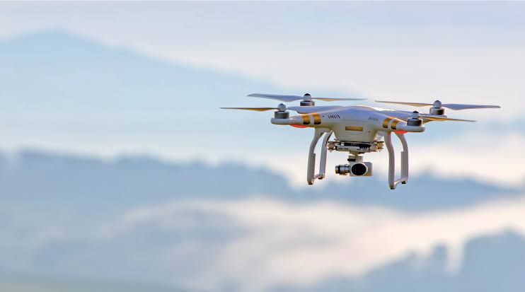
Drones will be used to map the unsurveyed inhabited areas in the Bodoland Territorial Region (BTR) of Assam.
The main objective of the mapping is to facilitate authorities in modernising its land record system.
The development comes after a Memorandum of Understanding (MoU) was signed among Bodoland Territorial Council (BTC), Assam government and Survey of India to extend SVAMITVA (Survey of villages and mapping with improvised technology in village areas) scheme to the BTR.
“The survey by drones will be followed by generation of GIS map to enable detailed spatial database of property with a view to providing property cards to owners for leveraging land as a financial asset,” an official release said.
Meanwhile, the initiative has been termed as a path-breaking step in ascertaining “clear ownership” of land by Assam Chief Secretary Jishnu Baruah


